 GéoGuyane
Keyword
nautical chart
Harvested
Provided by
Type of resources
Topics
Keywords
Provided by
Representation types
From
1
-
3
/
3
-
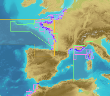
These maps are prepared on the basis of vector-based mapping data (IHO S-57 format) including the detailed description of each object (beacons, wrecks, submarine cables, regulated zones, survey systems, etc.). These maps are the digital equivalent of printed nautical charts.
-

The georeferenced digital image solution for the nautical chart is a digital conversion of the corresponding printed nautical chart produced by Shom or its legends, with georeferencing indications and including miscellaneous text.
-
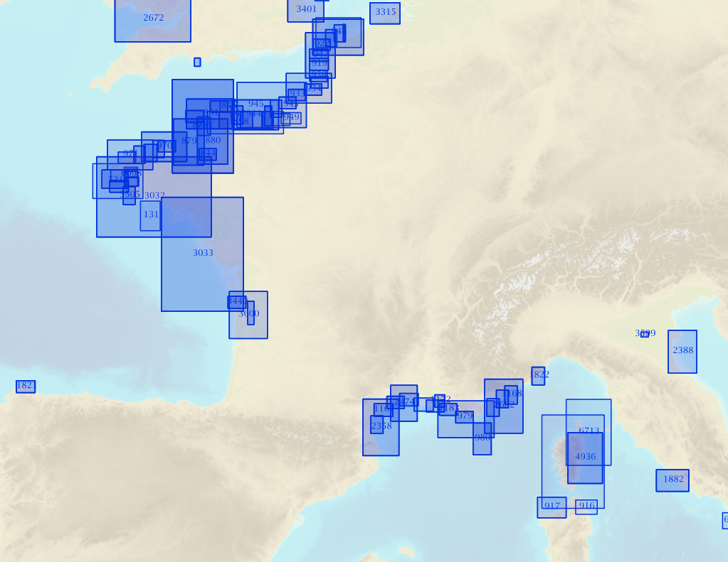
Non-georeferenced digital images in JPEG2000 format from former hydrographical survey fair sheets obtained from Shom's historical archives.